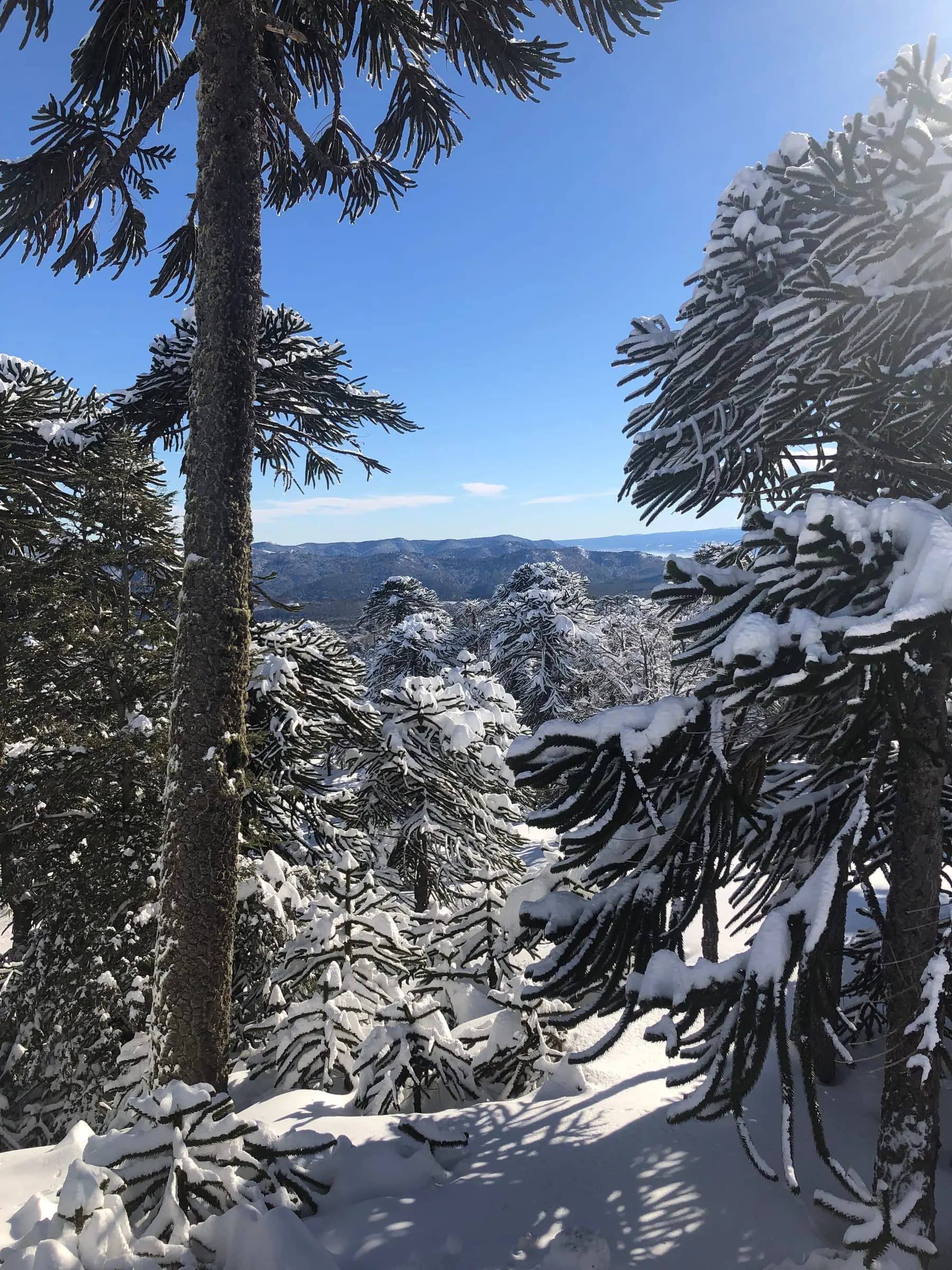
Snow-laden araucaria trees in the mountains of La Araucanía

Mountains & volcanoes · Lake District

Volcán Lonquimay Ascent

At a glance

A full-day guided climb of Volcán Lonquimay (2,865 m) from Malalcahuello, through araucaria country, descending on foot or on skis.

Duration
Full day
Level
Intermediate
Group
1–6
Season
Winter (July–October)
Elevation gain
about 4–5 hours of ascent to the crater (meters not confirmed)
Start
Pickup at your hotel in Malalcahuello, confirmed when you book

Overview

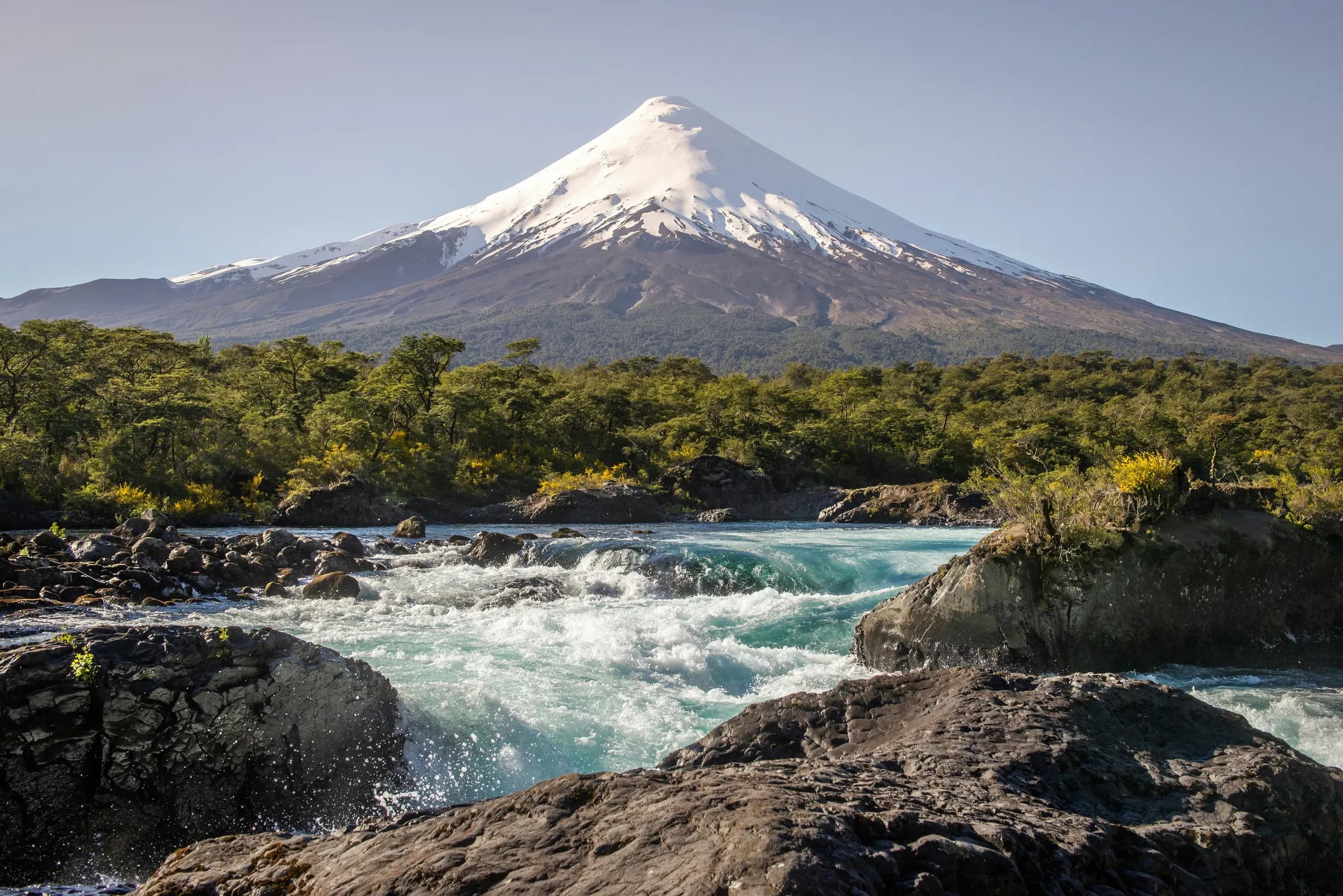
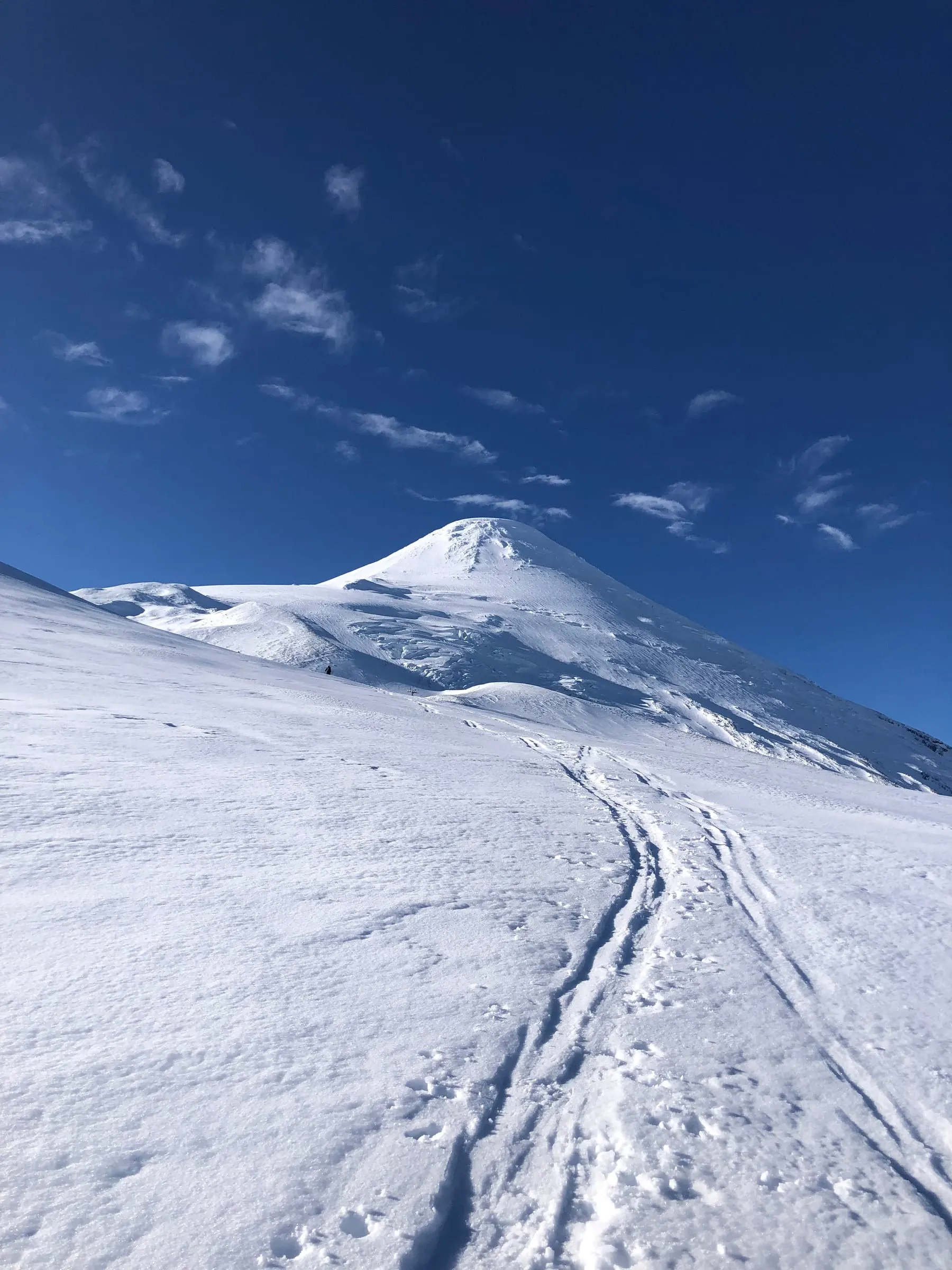
Volcán Lonquimay (2,865 m) rises inside the Malalcahuello area of La Araucanía, where CONAF's Reserva Nacional Malalcahuello has protected araucaria forest since 1931. The climb leaves from Malalcahuello in the morning, and the approach is framed by araucarias, with coigüe, lenga and ñirre in the forests around the volcano. Its slopes are wide and open, which makes it a good mountain for pairing a summit day with a ski descent.

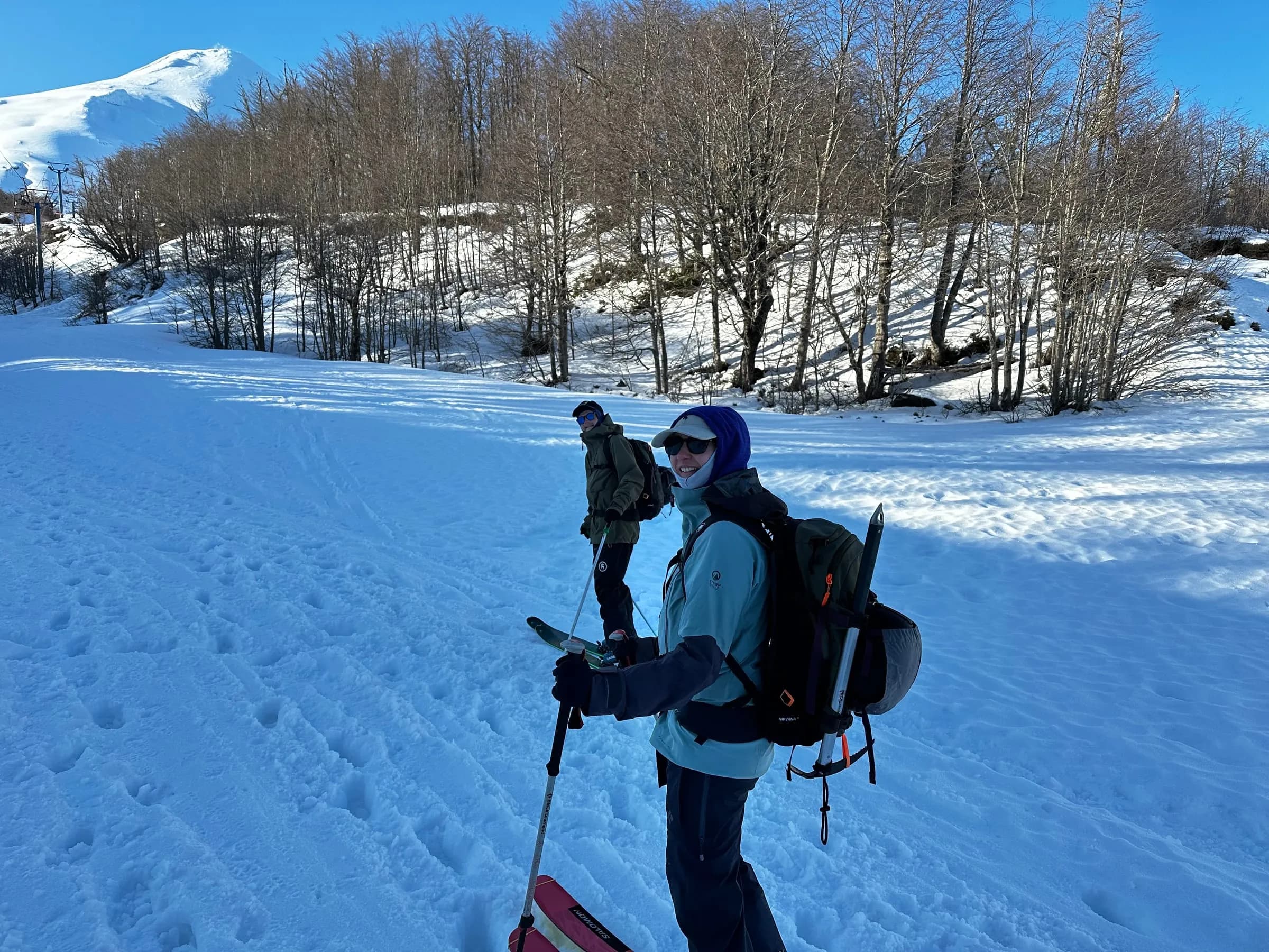
After a briefing, your certified mountain guide fits everyone with crampons, ice axe, helmet and harness, all included. The ascent to the crater takes about 4–5 hours, and time on top depends on conditions. Lonquimay's crater is large and glaciated, and in December 1988 a side vent at its base, Volcán Navidad, began an eruption that lasted more than a year. You come down on foot or, if you are an advanced skier, on skis.

Back in Malalcahuello the same day, you can finish at the hot springs nearby. The whole day asks for 5–7 hours of continuous effort. You do not need technical experience to descend on foot, and groups stay small, up to 6 people, with transfers from Malalcahuello and a trail lunch pack included.
Highlights

  • Climb Volcán Lonquimay to 2,865 m
  • Araucaria forests on the approach, in La Araucanía
  • Wide, open slopes suited to a ski descent
  • Technical gear (crampons, ice axe, helmet, harness) included
  • Malalcahuello hot springs nearby to end the day

The day

  1. Early pickup at your hotel in Malalcahuello

    Pickup at your hotel in Malalcahuello, confirmed when you book, and transfer to the start of the route. Briefing and fitting of crampons, ice axe, helmet and harness.

  2. Ascent to the crater

    About 4–5 hours of climbing to the crater. Time on top depends on conditions.

  3. Descent on foot or on skis

    Walk down with your guide, or ski the descent if you are an advanced skier with your own or rented equipment.

  4. Drop-off at your hotel in Malalcahuello

    Transfer back with drop-off at your hotel in Malalcahuello, confirmed when you book, with the option to finish the day at the hot springs.

Included and not included

Included

  • Certified mountain guide
  • Technical equipment: crampons, ice axe, helmet, harness
  • Trail lunch pack
  • Transfers from Malalcahuello

Not included

  • Accommodation in Malalcahuello
  • Hot springs entrance (quotable on request)
  • Ski/touring equipment rental (quotable on request)
  • Travel insurance
  • Gratuities and personal expenses

What to bring and who it's for

What to bring

  • Winter mountain clothing for a full day on snow
  • Ski or ski touring equipment if you plan to ski down (rental quotable on request)
  • Swimwear if you want to end at the hot springs
  • Travel insurance details
  • Your completed health form and liability waiver

Who it's for

Hikers in good physical condition for 5–7 hours of continuous effort. You do not need technical experience to descend on foot; an advanced skiing level is required to descend on skis.

Good to know

  • A health form and liability waiver are required.
  • Time on the summit depends on conditions on the day.
  • Accommodation in Malalcahuello is not included, so plan a night there before the climb.
  • Reserva Nacional Malalcahuello (CONAF) does not allow any source of fire or heat, pets, drones or alcohol.

Where it happens

The map loads from Esri when you open it.

  1. MalalcahuelloPickup at your hotel in Malalcahuello.
  2. Lonquimay crater2,865 m, climbed from Malalcahuello.
  3. MalalcahuelloBack in Malalcahuello.

Ready to go?

FAQs

SOURCES · Vertic field notes · conaf.cl · andeshandbook.org